GARLAND, TEXAS
Established neighborhoods, regional transit, and housing choices across a large city.
Garland is an established northeast DFW city with housing from many development periods. Buyers can find detached homes, mid-century properties, renovated houses, townhomes, condominiums, patio-style homes, selected new construction and redevelopment, mixed-use housing, and lake-area properties.
Garland is largely built out, so much of its future housing and commercial change will occur through reinvestment, infill, and redevelopment rather than uninterrupted new subdivisions. The City reports that approximately 97% of its land is already developed and is updating its comprehensive plan to guide future land use, neighborhood vitality, transportation, parks, redevelopment, and infrastructure.
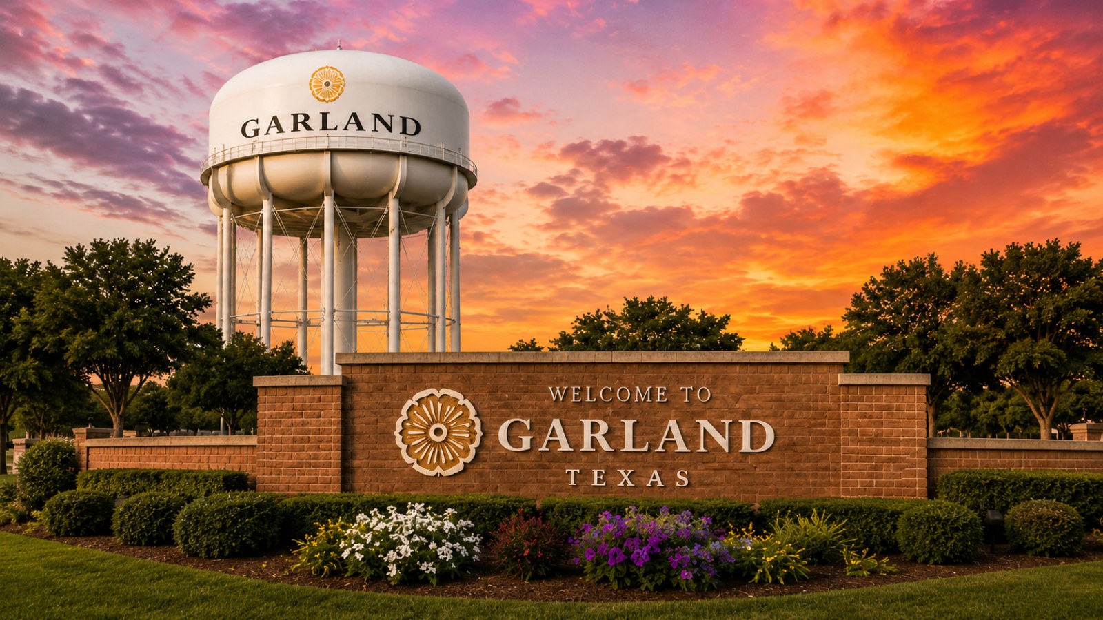
Garland at a glance
| Category | Garland overview |
|---|---|
| DFW location | Northeast of Dallas, with municipal areas associated with Dallas, Collin, and Rockwall county jurisdictions |
| Housing pattern | Predominantly established detached homes, with townhomes, condominiums, patio homes, mixed-use housing, renovations, and selected infill |
| Newer housing | More likely through infill, redevelopment, and selected projects than through large new greenfield communities |
| Lot patterns | Compact lots, conventional suburban lots, and larger properties in selected areas |
| Major access | I-635, I-30, President George Bush Turnpike, SH 78, Northwest Highway, and major arterial streets |
| Rail access | DART Blue Line service at Downtown Garland and Forest/Jupiter stations |
| School assignment | District-specific; Garland ISD’s Choice of School program operates differently from conventional attendance-zone systems |
| Utilities | Garland Power & Light is the sole electric provider for approximately 85% of Garland; other addresses may have a different provider |
| Local destinations | Downtown Garland, Firewheel, Rowlett Creek Preserve, Duck Creek Greenbelt, Spring Creek Forest Preserve, parks, trails, and Lake Ray Hubbard-area destinations |
| Important tradeoff | Broad housing and transportation choices, with property age, utility provider, school process, redevelopment, and county jurisdiction varying by address |
The City maintains county election links for Dallas, Collin, and Rockwall County residents, and its address-based map tool provides property-specific service and development information.
Why buyers compare different parts of Garland
Garland covers a large area and contains several distinct housing and transportation patterns. Useful questions include:
- Do you prefer an older established home, renovated property, or newer construction?
- Is DART rail useful for a regular destination?
- Would Downtown, Firewheel, I-635, I-30, or the Bush Turnpike provide the most practical access?
- Is a detached home required, or would a townhome, condominium, or patio home work?
- How much renovation or system replacement is acceptable?
- Does Lake Ray Hubbard proximity matter?
- Is trail or park access important?
- Which electric provider serves the property?
- Is the address within Garland ISD or another school district?
- How will Garland ISD’s Choice of School process affect school research?
- Is the property near a redevelopment plan, active zoning case, creek, rail line, or highway?
Ways to structure a Garland home search
Established central Garland neighborhoods
Central Garland contains established detached homes from several construction periods, access to Downtown and the DART Blue Line, city parks, civic facilities, and older commercial corridors.
Buyers should review:
- Foundation and drainage
- Roof and HVAC age
- Electrical service
- Plumbing and sewer lines
- Windows and insulation
- Additions and garage conversions
- Renovation permits
- Mature trees
- Floodplain and creek proximity
- Street and alley conditions
Downtown and rail-connected housing
Downtown Garland includes a redesigned public square, civic buildings, cultural venues, local businesses, residences, and direct DART Blue Line service. The Downtown Garland Station connects with Downtown Dallas and the broader DART network.
A Downtown or rail-adjacent search should compare:
- Walking route to the station
- Parking and guest parking
- Rail and crossing noise
- Event activity
- Mixed-use surroundings
- Heritage or design requirements
- Future redevelopment
- Condominium or association obligations
North Garland and the Firewheel area
North Garland includes established detached homes, townhomes, patio-style properties, newer infill, parks, trails, and access to President George Bush Turnpike and the Firewheel area.
The City identifies Firewheel as a major Garland gateway and maintains separate destination and planning resources for the area.
A Firewheel-area search should evaluate toll-road use, commercial and event traffic, nearby development, HOA obligations, trail access, and the actual route to work or recurring destinations.
South Garland, I-30, and the lake area
South Garland includes established homes, townhomes, condominiums, commercial corridors, Lake Ray Hubbard-area properties, and major redevelopment planning near I-30.
In 2026, the City reported adoption of the Setting Sail: South Garland Lakeside Area Plan, a long-range framework for an approximately 820-acre area near Lake Ray Hubbard. The plan is a guide for future land use and investment—not a promise that every proposed project will be built.
Buyers should distinguish among:
- Direct waterfront
- Water view
- Lake-area proximity
- Public lake access
- Existing development
- Proposed redevelopment
- I-30 and I-635 access
- Floodplain and drainage
- Rail or transit-center proximity
Townhomes, condominiums, and patio homes
Garland offers attached and lower-maintenance properties in selected areas.
Review:
- Association dues
- Reserves
- Master insurance
- Exterior maintenance
- Roof and foundation responsibility
- Parking
- Leasing restrictions
- Pets
- Pending assessments
- Litigation
- Private streets and gates
Renovated and infill homes
Because Garland is largely developed, newer housing and updated homes are often found through renovations, replacement construction, redevelopment, or selected infill projects.
For a renovated home, verify:
- Permit history
- Structural alterations
- Electrical and plumbing work
- Foundation repairs
- Window and insulation upgrades
- Roof and HVAC age
- Sewer-line condition
- Contractor warranties
- Whether cosmetic work concealed unresolved defects
Getting around Garland
Garland’s major travel routes include I-635, I-30, President George Bush Turnpike, SH 78, Northwest Highway, and major local streets. The practical route differs substantially among North Garland, central Garland, Downtown, South Garland, and Lake Ray Hubbard-area locations.
DART Blue Line
Garland has Blue Line stations at Downtown Garland and Forest/Jupiter. The Blue Line continues through northeast Dallas and Downtown Dallas and extends south to UNT Dallas and east to Downtown Rowlett.
Rail usefulness should be evaluated from the exact property. Consider the route to the station, parking, schedule, transfers, station surroundings, and the final destination.
Bus and on-demand services
DART also provides bus and other service options within its Garland service area. Routes and operating plans can change; use DART’s live trip planner for current service.
Planning a real commute
Buyers should:
- Test the exact property and destination.
- Compare I-635, I-30, Bush Turnpike, and local routes.
- Include toll costs.
- Set the map for the actual weekday time.
- Test DART schedules and transfers.
- Review current highway and street construction.
- Observe rail, school, and commercial traffic.
- Test airport, medical, and weekend destinations separately.
Parks, trails, and natural areas
Garland maintains parks, greenbelts, natural areas, recreation facilities, and a citywide trail-planning system. Its adopted Trails and Bikeways Master Plan identifies future off-street paths, on-street connections, bike facilities, and links among community destinations.
Rowlett Creek Greenbelt
The Rowlett Creek Greenbelt includes approximately 15 miles of natural-surface trails, along with parking, picnic facilities, and trail access.
Duck Creek Greenbelt Trail
Duck Creek is one of Garland’s principal continuous trail corridors. The City is continuing projects intended to expand multimodal and trail connections across the area.
Spring Creek Forest Preserve
Spring Creek Forest Preserve is a natural-area resource with ecological, educational, and recreational value. Infrastructure and restoration work can affect individual trail segments, so current conditions should be checked before relying on a specific route.
Audubon Park
Audubon Park is a regional recreation destination located near I-635, with both active and passive recreational facilities.
Downtown Garland
Downtown Garland includes the public square, Downtown Garland DART Station, Granville Arts Center, Landmark Museum, civic facilities, businesses, dining, cultural programming, and surrounding residential development.
A central portion of Garland was designated the Bankhead Cultural Arts District in 2023, including Downtown cultural and historic destinations.
Buyers considering Downtown should review the actual walking route, parking, rail access, events, property age, association obligations, nearby redevelopment, and exterior-design restrictions where applicable.
Lake Ray Hubbard and South Garland planning
Garland includes residential and redevelopment areas near Lake Ray Hubbard. A lake-area address does not necessarily establish private water access, a water view, shoreline ownership, or dock rights.
For any property marketed as waterfront or water-view, verify:
- Survey and deeded boundary
- Takeline or shoreline conditions
- Private versus public access
- Dock or boathouse rights
- Seawall and erosion responsibility
- Floodplain
- Drainage
- Lake-level effects
- Association restrictions
- Insurance
- Future nearby development
The City’s adopted South Garland Lakeside Area Plan establishes long-range development guidance but does not itself change every property’s existing use or guarantee future projects.
Garland Power & Light and utilities
Garland’s municipally owned electric utility, Garland Power & Light, is the sole electricity provider for approximately 85% of the city. Other Garland properties may fall within a different electric-service territory. The City provides an address-based electric-provider tool.
Before purchasing, verify:
- Electric provider
- Current rate structure
- Water and wastewater service
- Natural gas availability
- Trash service
- Internet providers
- Utility easements
- Solar or generator rules
- Electrical-panel capacity
- Any private or shared utility obligations
The property address—not the city name—determines the provider.
Garland ISD uses a different school-selection model.
A Garland mailing address does not automatically establish Garland ISD. Begin with the TEA School District Locator to determine the district.
For addresses inside Garland ISD, the district’s Choice of School program allows families to select or request campuses through the district’s enrollment process rather than relying solely on conventional neighborhood attendance zones. Current procedures, timelines, transportation, availability, and program requirements should be reviewed directly with Garland ISD.
Use this process:
- Enter the exact address in the TEA School District Locator.
- Confirm the applicable school district.
- For Garland ISD, review the current Choice of School process.
- Explore current campus locations and programs.
- Confirm enrollment and transportation rules directly with the district.
Official school tools
- Texas Education Agency School District Locator
- Garland ISD Choice of School
- Garland ISD Explore Map
- Garland ISD Choice Application Guide
Use the official process without ranking campuses or directing buyers toward or away from an area based on school reputation.
County and jurisdiction verification
Garland is principally associated with Dallas County but also has addresses connected with Collin and Rockwall County jurisdictions. City election and mapping resources provide county-specific links and address-based information.
For each property, verify:
- County
- Appraisal district
- School district
- Electric provider
- Other taxing entities
- HOA or condominium association
- PID or special assessment
- Current exemptions
- Municipal service zones
Planning and redevelopment
Garland is updating its comprehensive plan through the Garland Forward process. The City also maintains smaller area plans, redevelopment plans, future-land-use maps, zoning maps, and active development resources.
For a property near a commercial corridor, vacant parcel, rail station, or redevelopment area, distinguish among:
- Existing zoning
- Future-land-use guidance
- Small-area plan
- Active zoning application
- Approved development
- Construction underway
- Completed project
The City’s Future Land Use Map expressly states that a comprehensive plan does not establish zoning boundaries.
Before choosing a Garland property
Property age and renovations
Review the foundation, drainage, roof, HVAC, plumbing, sewer line, electrical system, windows, insulation, additions, conversions, and permits.
Electric provider
Confirm Garland Power & Light or another provider from the exact address.
School process
Determine the district first and then understand Garland ISD’s Choice of School process where applicable.
Rail and highway proximity
Observe train, crossing, traffic, construction, and noise conditions at relevant times.
Creek and floodplain conditions
Review current flood information, drainage, creek proximity, insurance, and prior water intrusion.
Redevelopment
Use City maps and current planning cases rather than relying on proposed-project marketing.
HOA or condominium obligations
Review dues, reserves, insurance, maintenance, leasing, pets, parking, litigation, and assessments.
Lake-area status
Independently verify waterfront, water view, access, shoreline rights, and permits.
Useful Garland links
City and planning
- City of Garland
- New Resident Information — utilities and address-specific services.
- My Garland Address Tool — City services, nearby facilities, neighborhoods, and development information.
- Garland City Maps — city limits, zoning, future land use, and Garland ISD boundaries.
- Garland Planning and Development
- Garland Forward Comprehensive Plan Update
- South Garland Lakeside Area Plan
Parks, Downtown, and transportation
- Garland Trails and Bikeways Master Plan
- Rowlett Creek Greenbelt
- Duck Creek Greenbelt Trail
- Visit Garland and Downtown Information
- DART Blue Line
- Garland Power & Light Provider Lookup
Schools
Current Listings
Search homes in Garland.
Open the approved public Matrix search with your city context preserved, or ask our team to build a focused search for this community.
Frequently Asked Questions
Questions about Garland
Does Garland have DART rail service?
Yes. The DART Blue Line serves Downtown Garland and Forest/Jupiter stations and connects with Downtown Dallas and the larger DART system.
Is Garland Power & Light the electric provider for every Garland home?
No. Garland Power & Light is the sole provider for approximately 85% of the city. The exact provider must be verified by address.
Which school district serves Garland?
It depends on the exact property. Begin with the TEA district locator. For an address within Garland ISD, review the district’s Choice of School process.
Is new construction available in Garland?
Selected infill, redevelopment, and new-home opportunities may be available, but Garland is primarily an established city and reports that approximately 97% of its land is already developed. Current availability should come from the live IDX search.
Are all Garland lake-area homes waterfront?
No. Lake proximity, water view, direct waterfront, public access, and private shoreline rights are different conditions and should be separately verified.
Does Garland have trails?
Yes. Garland maintains major greenbelt and trail resources, including Rowlett Creek and Duck Creek, and has adopted a Trails and Bikeways Master Plan for continued connections.
GARLAND HOME SEARCH
Find the part of Garland that matches your housing, travel, and maintenance priorities.
Tell us the type and age of home you prefer, where you travel regularly, whether DART or Lake Ray Hubbard access matters, and how much renovation you are comfortable with. The Savage Realty team will help you compare Garland locations and verify the property-specific details.